
Israel attacks Iran: See strike map, satellite images of nuclear sites
Israel has attacked Iran, targeting Tehran's nuclear program according to the Israeli government. According to Prime Minister Benjamin Netanyahu, Israel struck Iran's uranium enrichment facility at Natanz and hit additional targets "at the heart" of the Islamic Republic's enrichment, nuclear, and ballistic missile programs.
"Iran's leading nuclear scientists" were also targets according to Netanyahu. Reuters reports that Iranian state media confirmed the killing of Revolutionary Guards Commander Hossein Salami, among other senior officials.
According to Israel's military, Iran has launched retaliatory drone strikes on Israel. The Israel Defense Forces said Iran launched more than 100 UAVs toward Israel and was working to intercept them. The U.S. military has helped shoot down Iranian missiles headed for Israel, American officials told Paste BN.
Here's closer look at where the attack took place and what the nuclear sites looked like before the strike:
Here's a look at at Iranian facilities before and after the attack:
The below satellite images from Maxar Technologies show key Iranian nuclear facilities before the strike.
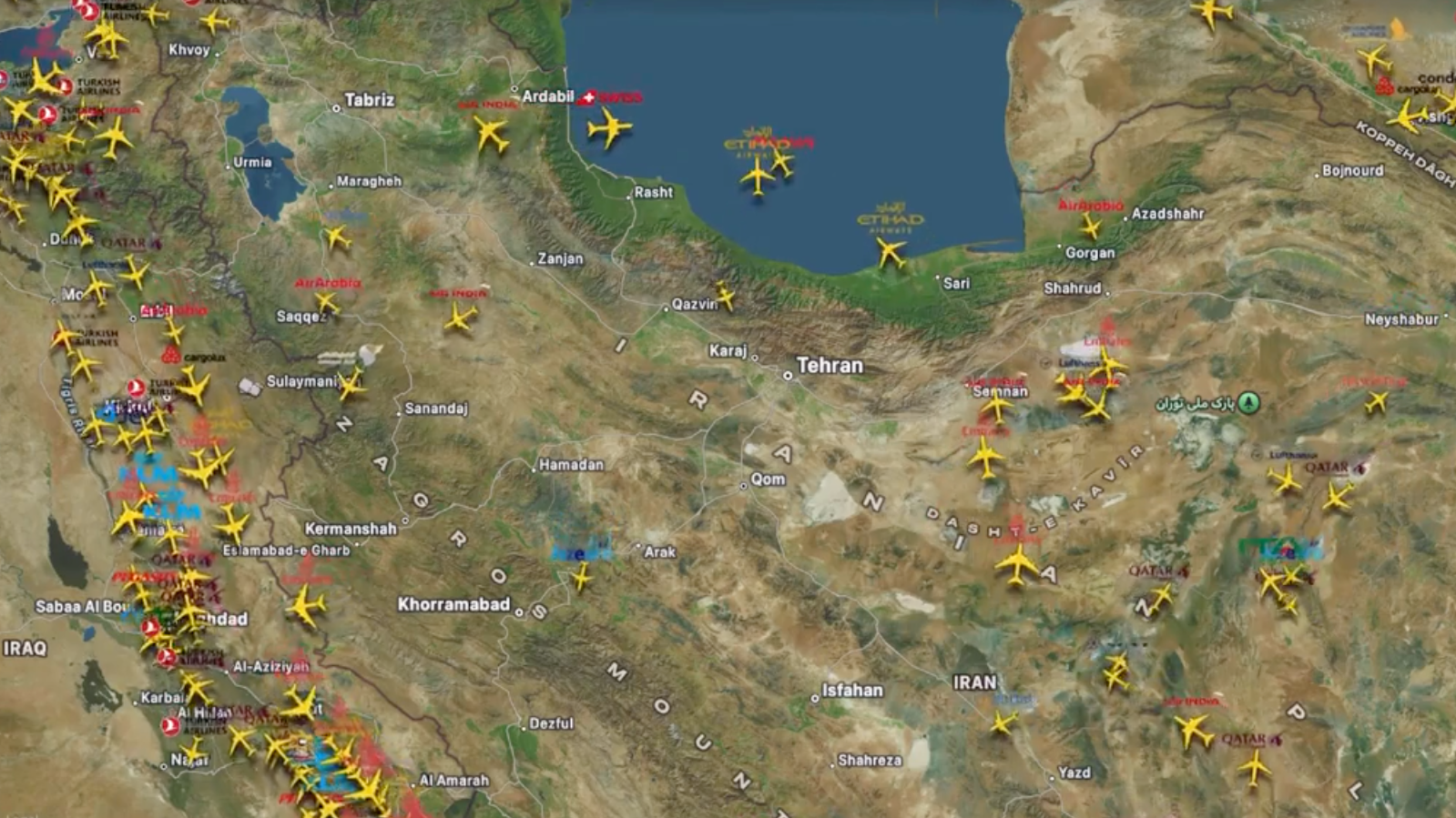
Posts on social media by FlightRadar24 appear to show flights diverting away from Iran and Tel Aviv. Iran and Iraq have closed their airspace, according to the flight tracking company.
The below videos and photos show scenes from the ground in Tehran.

This is a developing story and will be updated.
Read more:
Live updates: Iran launches missile counterattack on Israel after punishing airstrikesIsrael launches strikes against Iran as nuclear program talks falterNetanyahu says Iran could produce a nuclear weapon 'in a very short time'What we know about Israel's attacks on Iran's nuclear sites − and Iran's drone response