Tropical Storm Erin expected to strengthen into major hurricane: See tracker
Tropical Storm Erin has formed in the Atlantic and will continue to pick up strength over the next couple of days, according to the National Hurricane Center.
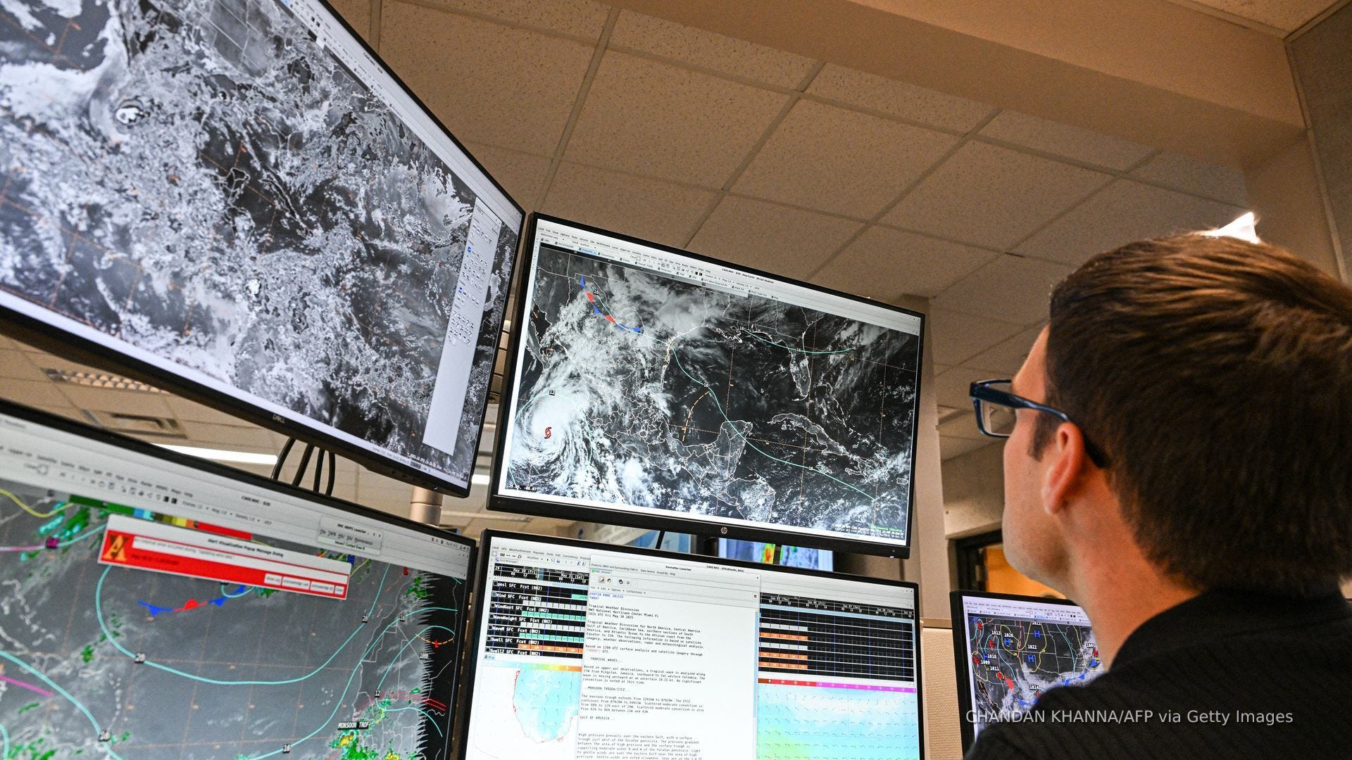
In a 5 a.m. ET advisory on Tuesday, Aug. 12, the hurricane center said Erin was located about 690 miles west of the Cabo Verde Islands with maximum sustained winds near 45 mph with higher gusts. Forecasters said Erin is moving west at 22 mph, and this motion is expected to continue for the next several days.
"Gradual strengthening is forecast over the next several days, and Erin is expected to become a hurricane in the next couple of days," the hurricane center said in the advisory.
A windspeed forecast from the hurricane center says Erin could become a hurricane on Thursday, Aug. 14.
Federal meteorologists added that the official intensity forecast "shows Erin becoming a major hurricane in around 5 days." A major hurricane is a term used for cyclones that are rated a Category 3 or higher, indicating they have damaging winds over 110 mph.
With great uncertainty in the long-term forecast track, it's too early to know what impact, if any, Erin will have on the Caribbean or the eastern U.S.
Meanwhile, in the Gulf, a surface trough in the north-central Gulf is associated with a broad area of disorganized showers and thunderstorms. The system is not expected to develop before it moves inland, although locally heavy rainfall could produce flash flooding across portions of the Florida Panhandle, southern Alabama, southern Mississippi, and southeastern Louisiana over the next day or so, according to the hurricane center.
Lastly, the hurricane center said it is keeping an eye on a non-tropical area of low pressure located a few hundred miles southeast of Nova Scotia, Canada.
"Some limited tropical or subtropical development is possible over the next day or so as the low meanders near the relatively warm waters of the Gulf Stream," the NHC said, however the system is forecast to move northward over cooler waters, ending its chances of further tropical development.
Tropical Storm Erin path tracker
This forecast track shows the most likely path of the center of the storm. It does not illustrate the full width of the storm or its impacts, and the center of the storm is likely to travel outside the cone up to 33% of the time.
Tropical Storm Erin spaghetti models
This forecast track shows the most likely path of the center of the storm. It does not illustrate the full width of the storm or its impacts, and the center of the storm is likely to travel outside the cone up to 33% of the time.
NHC also keeping tabs on Hurricane Henriette in Pacific
Meanwhile in the Pacific, the NHC said it is keeping tabs on Hurricane Henriette.
In an 11 p.m. Hawaiian Standard Time advisory on Monday, Aug. 11, forecasters said Henriette was located about 730 miles north of Honolulu, Hawaii, with maximum sustained winds near 75 mph with higher gusts.
The NHC said further weakening is forecast during the next few days, with Henriette expected to become a post-tropical cyclone by early Thursday, Aug. 14. There are currently no threats to land stemming from Henriette.
How do hurricanes form?
Hurricanes are born in the tropics, above warm water. Clusters of thunderstorms can develop over the ocean when water temperatures exceed 80 degrees Fahrenheit. If conditions are right, the clusters swirl into a storm known as a tropical wave or tropical depression.
A tropical depression becomes a named tropical storm once its sustained wind speeds reach 39 miles per hour. When its winds reach 74 mph, the storm officially becomes a hurricane.
Prepare now for hurricanes
Delaying potentially life-saving preparations could mean waiting until it’s too late. "Get your disaster supplies while the shelves are still stocked, and get that insurance checkup early, as flood insurance requires a 30-day waiting period," NOAA recommends.
- Develop an evacuation plan: If you are at risk from hurricanes, you need an evacuation plan. Now is the time to begin planning where you would go and how you would get there.
- Assemble disaster supplies: Whether you’re evacuating or sheltering-in-place, you’re going to need supplies not just to get through the storm but for the potentially lengthy aftermath, NOAA said.
- Get an insurance checkup and document your possessions: Contact your insurance company or agent now and ask for an insurance check-up to make sure you have enough insurance to repair or even replace your home and/or belongings. Remember, home and renters insurance doesn’t cover flooding, so you’ll need a separate policy for it. Flood insurance is available through your company, agent, or the National Flood Insurance Program. Act now, as flood insurance requires a 30-day waiting period.
- Create a family communication plan: NOAA said to take the time now to write down your hurricane plan, and share it with your family. Determine family meeting places, and make sure to include an out-of-town location in case of evacuation.
- Strengthen your home: Now is the time to improve your home’s ability to withstand hurricane impacts. Trim trees; install storm shutters, accordion shutters, and/or impact glass; seal outside wall openings.
Gabe Hauari is a national trending news reporter at Paste BN. You can follow him on X @GabeHauari or email him at Gdhauari@gannett.com.