Powerful thunderstorms batter parts of Texas, threatening region with tornadoes
Parts of Texas and Louisiana were under a tornado watch Thursday night as a line of thunderstorms battered the south-central U.S., threatening the region with large hail, damaging winds and heavy rainfall.
Texas Gov. Greg Abbott activated state emergency-response resources earlier in the day anticipating the "increased severe weather threat" across the eastern half of the state. The governor's office warned that severe thunderstorms are forecast in portions of north, central, east and southeast Texas.
"Given sufficient energy and a pronounced change in wind speed and direction with height in the atmosphere, all modes of severe weather are on the table, including hail, flooding, high winds and isolated tornadoes," Gwen Fieweger, an AccuWeather meteorologist, said in an online forecast.
The round of storms was expected to spread from southeastern Oklahoma to parts of Arkansas and Louisiana, the National Weather Service said. Tornado watches were in place for parts of southeast Texas, as well as west central and southwest Louisiana until 2 a.m. local time Friday.
Houston, which saw heavy bands of rain that prompted flight delays on Christmas Eve, faced an enhanced risk of thunderstorms on Thursday, according to AccuWeather. The storms could persist in the region through the weekend, threatening to bring additional rainfall, hail and possible tornadoes.
The weather service in Houston warned that weather conditions in the region may cause damage to buildings and trees.
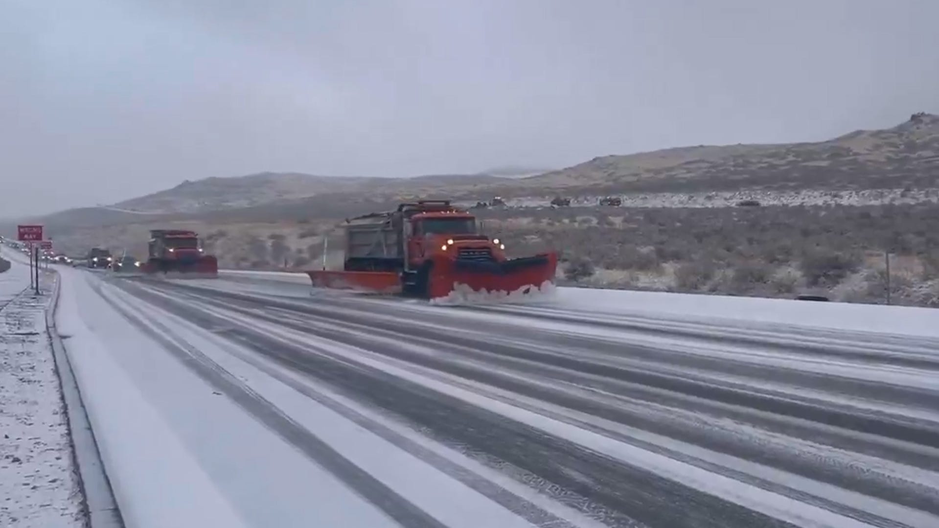
Powerful storms also battered the Pacific Northwest with heavy rain and snow on Thursday. The weather service said parts of the San Francisco Bay Area will likely see rises on creeks and streams into Friday while parts of Oregon may face damaging winds.
Forecasters said the weather may cause problems for some people traveling the day after Christmas. Earlier Thursday, several airports temporarily grounded flights and reported delays.
Possible tornado reported in southeast Texas
Law enforcement and emergency officials reported a possible tornado near the city of El Campo in Wharton County, about 70 miles southwest of Houston. Authorities advised residents to seek shelter immediately.
The reported tornado was spotted Thursday afternoon, according to the Wharton County Sheriff's Office and the Wharton County Office of Emergency Management. The tornado was initially seen in the area of Highway 59 and an El Campo gas station heading northeast towards the community of Pierce, the sheriff's office said on social media.
Although no injuries or major damages were reported, some barns were damaged, according to the sheriff's office and the emergency management office.
"It appears the bad weather has left Wharton County," the sheriff's office said in a later update. "Those to our east, please stay safe and be weather alert."
Atmospheric river brings storms to West
A dayslong stretch of poor weather in the West is showing no signs of slowing. An atmospheric river, which has brought multiple rounds of severe storms to the Pacific Northwest this week, will further lash the region with rain and snow.
On Thursday, forecasters with the weather service anticipate 1 to 3 inches of rain from northwestern California through western Oregon and the Olympic Peninsula of Washington, with "some instances of flooding where rainfall rates are highest."
From Thursday night into Friday morning, an additional 1 to 2 inches of rain is expected along with potentially damaging winds and heavy snow over the Cascades and Olympic Mountains. By Sunday, parts of northwestern California and southwestern Oregon could see as much as 18 inches of rain.
"Since the ground is already soaked from prior storms, any additional rainfall through Friday will increase the threat for flooding and mudslides, especially across burn scar areas and along short-run rivers out of the Cascades," said AccuWeather meteorologist Tyler Roys.
Winter storm warnings were in effect across much of the Northwest, from northern California to Washington, Montana, Idaho, Nevada and Utah, according to the weather service.
A central concern for forecasters are blizzard conditions across the mountains of Oregon and Washington, where up to 2 feet of snow could fall through Friday, raising a threat of avalanches, AccuWeather said.
"Travel could be very difficult," according to storm warnings from the weather service office in Spokane, Washington. "Heavy wet snow falling at one inch per hour or more at times could lead to isolated tree damage and power outages."
Storms lead to grounded flights, airport delays
As rounds of showers and thunderstorms battered the Northwest and multiple southern states, delays and cancellations began piling up at airports.
Flights at Dallas/Fort Worth International Airport were temporarily grounded “due to thunderstorms,” according to the Federal Aviation Administration. By Thursday night, over 200 flights were delayed and more than 500 flights were canceled at the major airport, according to FlightAware.
Other Texas airports, including George Bush Intercontinental/Houston Airport and Dallas Love Field airport reported major delays.
San Francisco International Airport saw its flights temporarily grounded because of high winds, according to the FAA.
Meanwhile airports in Albuquerque, New Mexico, and Salt Lake City, Utah, were spraying planes with deicing fluid.
(This story has been updated to add new information.)