3.8 magnitude earthquake centered in Maine rocks parts of Boston
A 3.8 magnitude earthquake shook parts of New England on Monday morning, according to the United States Geological Survey.
The earthquake occurred around 10:30 a.m. about 8 miles of the coast of York Harbor in Southern Maine, USGS reported.
The New England earthquake was originally reported at a magnitude of 4.1 on Monday but was then downgraded to a 3.8 magnitude by the USGS. Officials quickly said there was no tsunami danger from the earthquake.
No damage or injuries were immediately reported. People in the Boston area reported on social media that they felt some shaking and an intensity map available on the USGS’s website showed reports of light vibrations as far south as Rhode Island.
Residents in the suburbs of Boston felt a "long, steady rumbling" that lasted several seconds and reported seeing trees swaying, according to the local news station NBC Boston.
Police in the southern Maine town near the epicenter of the earthquake have yet to find any harm to buildings or other public or private infrastructure, said York Police Department Sgt. Brian McNeice.
“Nothing in the water, nothing out of place, everything appears to be the way it was before the earthquake,” McNeice said Monday. “It seems like it was felt by a lot of people and we felt it here. Luckily nothing so far has been damaged or anything like that.”
How often do earthquakes occur in New England?
Earthquakes occur much less frequently in the eastern United States than in the West. Moderately sized quakes strike New England every few decades while smaller quakes shake the region roughly twice a year, according to the USGS.
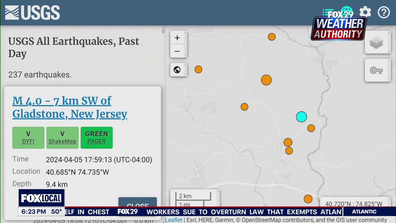
A 4.8 magnitude earthquake hit Tewksbury, New Jersey, last April, sparking tremors up and down the Northeast and Mid-Atlantic and causing shaking as far north as Connecticut.
One of the largest earthquakes ever reported in New England happened off the coast of Massachusetts near Cape Ann in 1755.
Historians and seismologists estimate the earthquake's magnitude at around 6.0, based on comparisons of damage reports to those from modern earthquakes. Damage from the storm, including collapsed chimneys and debris-riddled streets, was reported from Portland, Maine, to New Haven, Connecticut, according to the Massachusetts Historical Society.
Seismologists record about 900,000 earthquakes worldwide every year, but the vast majority occur along plate boundaries not found in the eastern and midwestern U.S., according to Michigan Technological University's Department of Geological and Mining Engineering and Sciences.
Earthquakes on the East Coast can affect larger areas than similar-sized earthquakes in the West, according to the USGS. A 2011 5.8 magnitude earthquake in Virginia was felt up to 600 miles from where it began. A 6.0 magnitude earthquake in Napa, California, in 2014 was only felt around 250 miles from its epicenter, the USGS reported.
The reason is that rocks in the eastern U.S. are much older than in the West, in some cases by millions of years. Those older rocks are harder and denser, making it easier for seismic waves to travel across them. In the West, faults are newer and absorb more of the seismic wave energy, so earthquakes don’t travel as far.
Contributing: Jeanine Santucci and Dinah Pulver, Paste BN; Paste BN NETWORK - New England
(This story was updated to correct typos.)