Distorted maps have misled you: Greenland isn't as big as you think.
For strategic and resource reasons, Greenland looms large in the imagination of President Donald Trump.
But geographically, the island doesn't loom quite as large as you might think. Centuries of flawed maps have led to a misconception about Greenland's size, which is nowhere near as big as it looks on the familiar flat world map.
It's certainly not a small island: It's about three times the size of Texas. But on most maps, Greenland looks almost as big as the entire continent of Africa.
In fact, it's 14 times smaller than Africa, something that is apparent when you look at its actual size to scale on a globe.
Why is Greenland so distorted on a flat map?
The problem is creating flat maps to depict a round planet – something's got to give. In the case of the most common map projections used today, what gives is the size of places near the poles.
The only way to accurately represent a round Earth on a flat piece of paper is to distort some part of it. Think of covering a ballon in pieces of wet newspaper to make a planet in grade school – you have to scrunch up the paper at the top and bottom.
The map problem is that in reverse - to get the middle of the globe to fit smoothly, the edges have to be flattened out.
Many of the maps we use today are based on a solution created by Gerardus Mercator, a Flemish geographer. In 1569 he drew a world map, what's become known as the Mercator projection.
It did a good job of showing countries' shapes and was excellent at showing ocean sailing courses, very important to merchants of the day. And it was reasonably good at depicting Europe.
But it did that at the expense of places further north and south such as Antarctica, Greenland, Russia, which look far larger in this projection than they actually are.
There are other projections that fix this problem, but they look odd and convoluted if you grew up with Mercator maps.
How big is Greenland really?
There's a nifty website called The True Size Of that allows you to move countries around and see how big they actually are.
Greenland is still pretty big. Depending on how you define its political status, it's around the 12th largest nation in the world.
Though it's actually not a separate country but a self-governing territory within the Kingdom of Denmark. It first became a Danish colony in 1721 and was granted self governance in 2009.
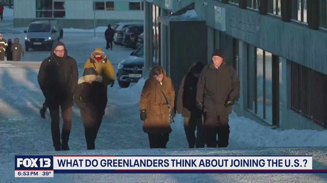
Greenland's 56,000 residents have their own government and parliament, which manage internal affairs. Denmark controls the island's foreign policy and defense. Greenlanders are Danish citizens.
Their island is roughly 20 times the size of Denmark proper.