'Never seen anything like this': 6 dead amid devastating West Virginia flash floods
Flash flooding from torrential rains over the weekend left at least six people dead and two others missing in West Virginia as the state began clean-up efforts ahead of more severe weather, officials said on June 16.
Flash flooding began on June 14 with about 3 to 4 inches of rain falling in the area over a "short period of time" in Ohio County near the Pennsylvania border, the West Virginia Governor's Office said in an update June 16. The flooding then continued on June 15 in Marion County with up to 3 inches of rain recorded in the city of Fairmont, according to the governor's office.
The Wheeling and nearby Triadelphia and Valley Grove areas were hit hardest. Floodwaters came quickly on June 14, stranding some cars and sending others careening down creeks, according to the Wheeling News-Register.
The waters "pulled homes from their foundations and destroyed them. Massive pieces of debris − cars, large metal storage containers, refrigerators, and more – crashed into bridges, forcing their closure until their structural integrity can be assessed," the newspaper reported. Two to 4 inches of rain fell within a matter of hours late June 14, which overwhelmed and flooded the nearby Appalachian creeks and waterways, according to Weather.com.
The governor's office said on June 16 that there were six confirmed fatalities and at least two missing people due to the flooding. State officials said they were working with local emergency responders to locate the missing people "as quickly as possible."
West Virginia Gov. Patrick Morrisey declared a state of emergency on June 15. The emergency declaration allows state resources, such as the West Virginia National Guard, to be used for flood-related assistance.
State, local authorities begin clean up efforts
In addition to mobilizing the National Guard to support local emergency operations, the governor's office said the state Division of Natural Resources has assisted in over swiftwater rescues.
Assessment and liaison teams have been sent to areas impacted by the flooding to work with local emergency management and assist affected residents, according to the governor's office. In Ohio County, engineering units with loaders and dump trucks were sent to clear debris, reopen access routes, and support critical infrastructure.
The governor's office said 30 routes were affected in Ohio and Marion counties, including State and U.S. routes. The state Department of Transportation was working on clearing debris, restoring roadways and inspecting bridges.
The state Department of Environmental Protection reported that there were no "significant circumstances of damages or structure failures" identified as of June 16.

The department has been conducting inspections at facilities in Marion and Ohio counties, according to the governor's office. The department also sent eight inspectors to conduct site assessments at mining-related facilities in Ohio, Marion, and Monongalia counties and surrounding areas.
'Never seen anything like this'
"We almost immediately started getting 911 calls for rescue of people being trapped,” Lou Vargo, Ohio County’s emergency management director, said at a news conference June 15, The Associated Press reported. “During this time, we had major infrastructure damage to roads, bridges and highways where we couldn’t respond to a lot of incidents. So we were delayed in getting there because there was just so much damage.
“It happened so quickly. … I’ve been doing this for 35 years. I’ve seen major floods here in the city and the county. I’ve never seen anything like this.”
Apartment building partially collapses
In the town of Fairmont in Marion County, an apartment building partially collapsed June 15 after the heavy rainfall and flooding, Weather.com said. Water poured out of the building over a mountain of debris that shut down Locust Avenue. No injuries were immediately reported, and residents of the building were being provided emergency shelter, local reports said.
"The storm was part of a stalled frontal system that has been bringing heavy rain to the region for several days," Weather.com digital meteorologist Sara Tonks said.
Flood watch still in effect
A flood watch is still in place for the area, and heavy rainfall was expected through June 17, the National Weather Service said. The highest flash flood risk was near Kentucky, the Central Appalachians, Virginia, and North Carolina.
On June 17, the flash flood threat will become more restricted in the Central Appalachians, the weather service said.
AccuWeather reported that the flooding was caused by a "stalled cold front with repeated low-pressure systems moving across the mid-Atlantic." Meteorologists warned that new flooding may occur in the same areas through the weekend.
"Unfortunately, the front is not budging," AccuWeather Meteorologist Chad Merrill said. "It will be the focal point for additional flooding problems until the pattern finally breaks on Thursday."
The most vulnerable part of West Virginia to flooding in the middle of the week is along the I-79 corridor, which includes Morgantown, Fairmont, and Charleston.
Severe weather hits parts of the United States
Meanwhile, storms and a heat wave were forecast for other parts of the country through the week.
Multiple rounds of severe weather is expected hit the central and eastern U.S., according to AccuWeather. Meteorologists warned that thunderstorms and torrential downpours will cause widespread disruptions, with flash flooding posing a significant risk to communities.
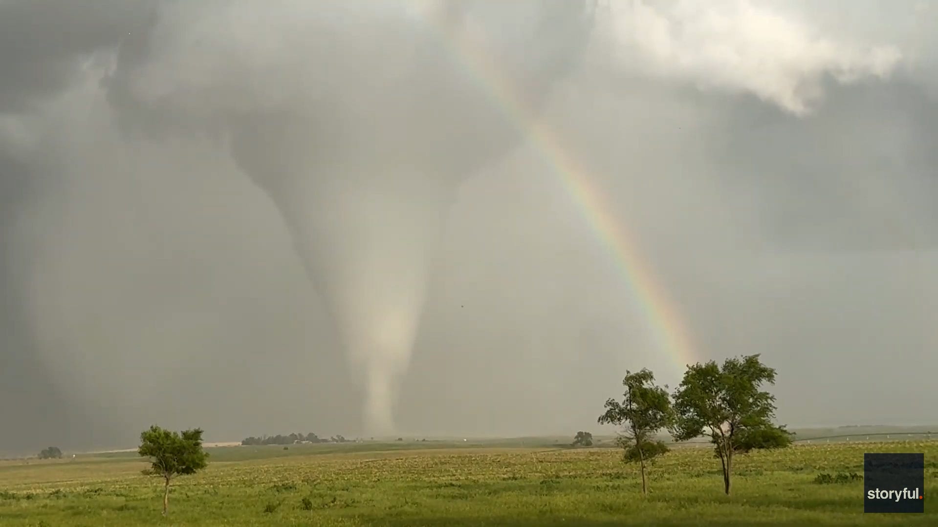
A large portion of the central United States will be at some risk of severe thunderstorms from June 16 to June 17, AccuWeather said. Damaging hail and winds, as well as tornadoes, are expected.
The National Weather Service in Twin Cities, Minnesota, issued multiple tornado advisories across the region. At around 6:50 p.m. local time, the weather service said it received several reports of large hail "up to a half-dollar-sized" near the city of Waconia, just outside of Minneapolis.
The weather service in Twin Cities later reported a tornado had briefly touched down in southern Minnesota at around 7 p.m. amid severe weather in the region. The tornado was east of Nicollet, a small city about 82 miles southwest of Minneapolis.
By 9 p.m., the weather service said the forecast area was "now warning free" and that it did not anticipate having to issue any more warnings. The agency added that scattered storms were expected to continue in the region with a heavy rain and lightning threat.
A heat wave is also forecast for later this week in parts of the central United States, according to AccuWeather. Meteorologists said high temperatures from 90 to 100 degrees are expected in areas from the Rockies to the Mississippi Valley.
(This story has been updated with new information and video.)