National Hurricane Center watching another potential storm off Southeast coast
Signals strung out across the Atlantic Ocean indicate the 2025 hurricane season may be kicking into a more active gear in the days ahead, but a disturbance a little closer to the U.S. has drawn the attention of the National Hurricane Center.
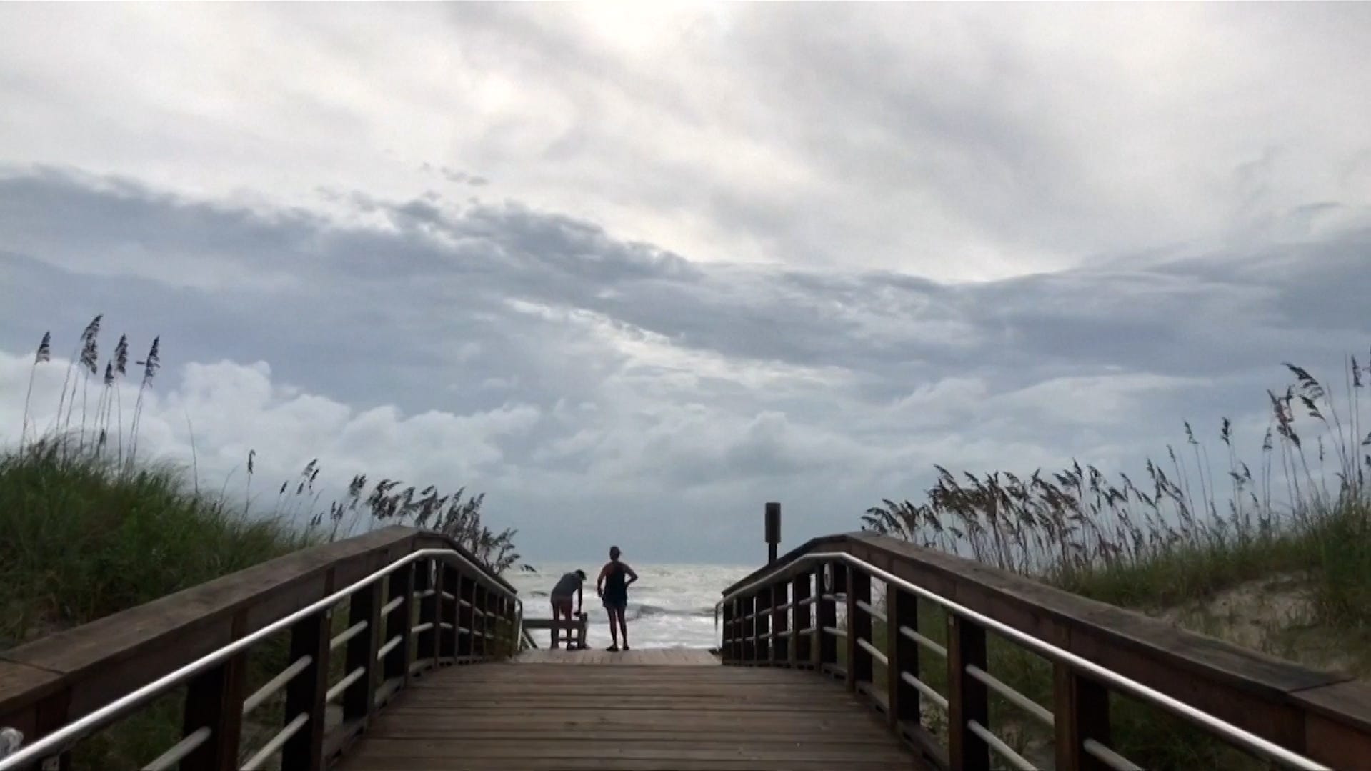
In a July 22 update, the hurricane center flagged a low pressure area off Northeast Florida that showed some chance of developing after it crosses over Florida into the Gulf of America, renamed from the Gulf of Mexico, later in the week.
The system is forecast to move in a west-southwestward direction into the north-central Gulf where it may encounter conditions that could allow for some slow development if it remained far enough from shore, according to a hurricane center update from Philippe Papin, a hurricane specialist. Papin's forecast put the chances of development at only 10% over seven days, predicting the system is likely to move inland by the weekend.
Either way it's likely to mean a few more days of heavy rain along the northern Gulf Coast, forecasters say.
"Expect rain and storm chances to increase towards the end of the week as this disturbance moves in, though it's too early to say much with certainty beyond that," the National Weather Service office in Houston posted on its social media. In Lake Charles, Louisiana, the weather service noted the amount of moisture in the air is expected to surge to the maximum amount possible by the afternoon of July 24.
Deja vu disturbance?
If the hurricane center's tropical outlook map looks familiar, that's because a similar scenario has played out twice in recent weeks. On July 5, Tropical Storm Chantal formed from a low pressure area off the southeastern United States. Chantal went on to cause flooding in parts of North Carolina, and was blamed for at least six deaths.
Then on July 12, the hurricane center started watching another potential low pressure area off the southeastern coast, which then slogged across the Florida peninsula with heavy rain on July 15 and then along the state's Panhandle. It remained disorganized and moved over southeastern Louisiana on July 17.
Chantal was a little earlier than normal for the third named storm of the season, according to Phil Klotzbach, a research scientist and co-author of a seasonal outlook from Colorado State University. On average the third named storm of the Atlantic hurricane season forms on August 3. After all the seasonal outlooks predicting a busy season, it may seem like the 2025 season is off to a slow start, but hurricane experts don't expect things to stay quiet.
Ocean temperatures are warming more than normally expected in an area of the Atlantic called the "main development region," called that because of its propensity to crank out some of the strongest storms, hurricane specialist Michael Lowry wrote in a July 22 post on his Substack blog. Sea surface temperatures have risen sharply in the region in July. Warmer seas can help fuel any potential storm systems that form in the region.
Lowry credits the current warming in the Atlantic to a weakening of the Bermuda High, a pattern of high pressure that expands and shrinks over the western Atlantic and heavily influences hurricane movement.
"After some of the strongest trade winds on record to start the year, and the strongest June trade winds since 1990," trade winds in July have been the weakest since at least 1979, wrote Lowry, a hurricane center veteran and now a specialist at WPLG 10 in Miami. Other signals including a periodic oscillation over the ocean that influences hurricane activity and a shift in the monsoon winds in North Africa also signal a potential increase in activity.
Dinah Voyles Pulver covers climate change and the environment for Paste BN. She's written about hurricanes, tornadoes and violent weather for more than 30 years. Reach her at dpulver@usatoday.com or @dinahvp on Bluesky or X or dinahvp.77 on Signal.