'Coast-to-coast winter storm' forecast warns of weekend snow, sleet and rain
Weather forecasters on Saturday warned of a "coast-to-coast winter storm" overtaking the nation – with heavy snow in the Great Lakes and New England; sleet and freezing rain in the Northeast and the risk of flooding in states including Ohio and Kentucky.
That's according to the National Weather Service's Weather Prediction Center in a forecast warning of "hazardous driving conditions and potential power outages" in the Northeast from the weather.
Meanwhile, the storms had cleared in Southern California after an atmospheric river caused flooding, mudslides and even a small tornado in the Los Angeles area.
All this comes as an arctic blast makes its way across the north-central U.S. this weekend into the South and East next week – ahead of a possible major winter storm that could "deliver the biggest snowfall of the winter for millions of Americans," according to AccuWeather.
Great Lakes and New England snow forecast
The central Great Lakes and northern New England regions are expected to get widespread snow Saturday afternoon and evening, the National Weather Service said.
The heaviest snow – double digit totals in some spots – is currently expected in Michigan, upstate New York, Vermont, New Hampshire, northern Massachusetts and interior Maine. Parts of Michigan could get up to 14 inches of snow.
In the Northeast, sleet and freezing rain may occur, affecting driving conditions and possibly creating power outages.
'Life-threatening' flooding possible in Kentucky, Tennessee
Over the weekend, successive intense storms are expected to spread heavy rains from the lower tomid-Mississippi Valley into the Tennessee Valley and Ohio Valley – with totals of 3-6 inches and, possibly up to 8 inches in spots. Northwestern Tennessee and western Kentucky face the greatest risk of flash flooding, the National Weather Service said. Moderate flood risk is forecast for the Mid-South to Ohio Valley, with slight flood risk for the general region east to the Appalachians.
Strong to severe thunderstorms in the lower Mississippi Valley and Mid South on Saturday could also bring damaging wind gusts and the potential for tornadoes.
Snowfall accumulation map
Midwest: Snow and ... more snow?
The upper Midwest will get snow throughout the weekend with Winter Weather Advisories issued with expected snowfall of 3-6 inches. That band of moderate to locally heavy snow is moving into the Great Lakes Saturday, too. Next week, "impactful snowfall" could cause "disruptions to daily life" from the Central Plains and the Ozarks to the Ohio and Tennessee Valleys and the Northeast corridor, the weather service said.
The Arctic air moving south from Canada will bring bitter cold to the north and central Plains Saturday with highs possibly not above zero by Sunday. Colder temperatures with highs in the 30s and 40s will spread Sunday into the southern Plains and the Mississippi Valley.
Snow forecast map
LA dries out; rain in Pacific Northwest
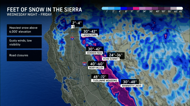
In California, where rain led to mudslides in the Los Angeles area, there's warm, dry weather expected into next week.
Rain is expected in the Pacific Northwest late Saturday and will spread into the Rockies Sunday. That moisture will combine with a stationary arctic front late Sunday and early Monday to bring snow from the northern Rockies and into the northern Plains.
(This story has been updated to include new information.)
Follow Mike Snider on Threads, Bluesky and X: mikegsnider & @mikegsnider.bsky.social & @mikesnider.
What's everyone talking about? Sign up for our trending newsletter to get the latest news of the day