Tropical depression brews off Southeast coast; forecast to hit SC as Tropical Storm Chantal
A tropical depression has formed off the Southeast U.S. coast on July 4, the National Hurricane Center said, as a tropical storm watch has been issued for portions of the South Carolina coastline.
The depression is expected to strengthen into Tropical Storm Chantal, becoming the third named storm of the 2025 Atlantic hurricane season this holiday weekend.
A tropical storm watch has been issued from Edisto Beach, South Carolina, to Little River Inlet, South Carolina, the hurricane center said.
As of 5 p.m. ET on July 4, the center of Tropical Depression Three was located about 150 miles south-southeast of Charleston, South Carolina, and was moving to the north at 2 mph. It had maximum sustained winds of 35 mph, just 4 mph below the threshold for becoming Tropical Storm Chantal.
An Air Force Reserve Hurricane Hunter was on its way to survey the storm, which should give more details on its structure, the hurricane center said.
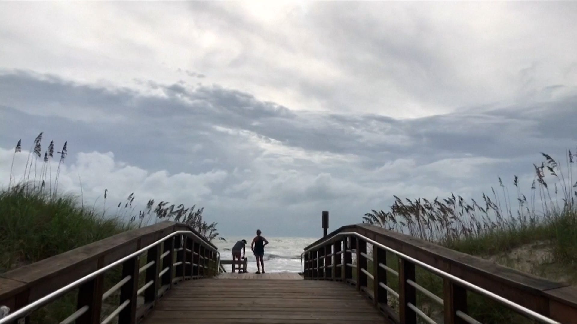
Regardless of whether or not it becomes Chantal, "stormy weather will impact areas from Florida to southeast Georgia and the coastal Carolinas," Weather.com said in an online forecast.
The National Weather Service in Jacksonville, Florida, warned drivers that "travel hazards include slick roads and blinding downpours. Flooding of urban, low-lying and poor drainage areas are possible."
Could Chantal form near Florida?
Weather Trader meteorologist Ryan Maue, in a daily email to reporters, said, "something will develop off the U.S. Southeast coast with probably enough of a circulation to be considered a tropical depression – if we named Barry in the southern Bay of Campeche, then this should probably qualify as Chantal."
Heavy rain the primary threat
Forecasters see rain as the main threat from the system: "Periods of heavy rain seeping northward into coastal areas of Georgia and North and South Carolina this weekend will be the primary threat regardless of development," said Michael Lowry, a NOAA veteran and hurricane specialist at WPLG 10 in Miami, in a daily update on his Substack.
Whatever happens, "by Tuesday and Wednesday next week, the system should pick up the pace and pull away from the U.S. as it accelerates up the Eastern Seaboard," Lowry said.
Behind it, he said the Atlantic will stay generally quiet for the remainder of next week.
Third storm of an active season?
If it forms, Chantal would be the third named storm of the Atlantic season, joining little-remembered tropical storms Andrea and Barry.
Most preseason forecasts pointed toward an unusually active Atlantic season, with as many as 19 named storms possible, according to a forecast from the National Oceanic and Atmospheric Administration.
The season was expected to be above normal, NOAA said, "due to a confluence of factors, including continued ENSO-neutral conditions, warmer than average ocean temperatures, forecasts for weak wind shear, and the potential for higher activity from the West African Monsoon, a primary starting point for Atlantic hurricanes."
All of these elements tend to favor tropical storm formation, NOAA said.
An average season features 14 named storms, based on weather records that date from 1991 to 2020.