Tropical Storm Dexter set to move on as NHC eyes 2 other systems
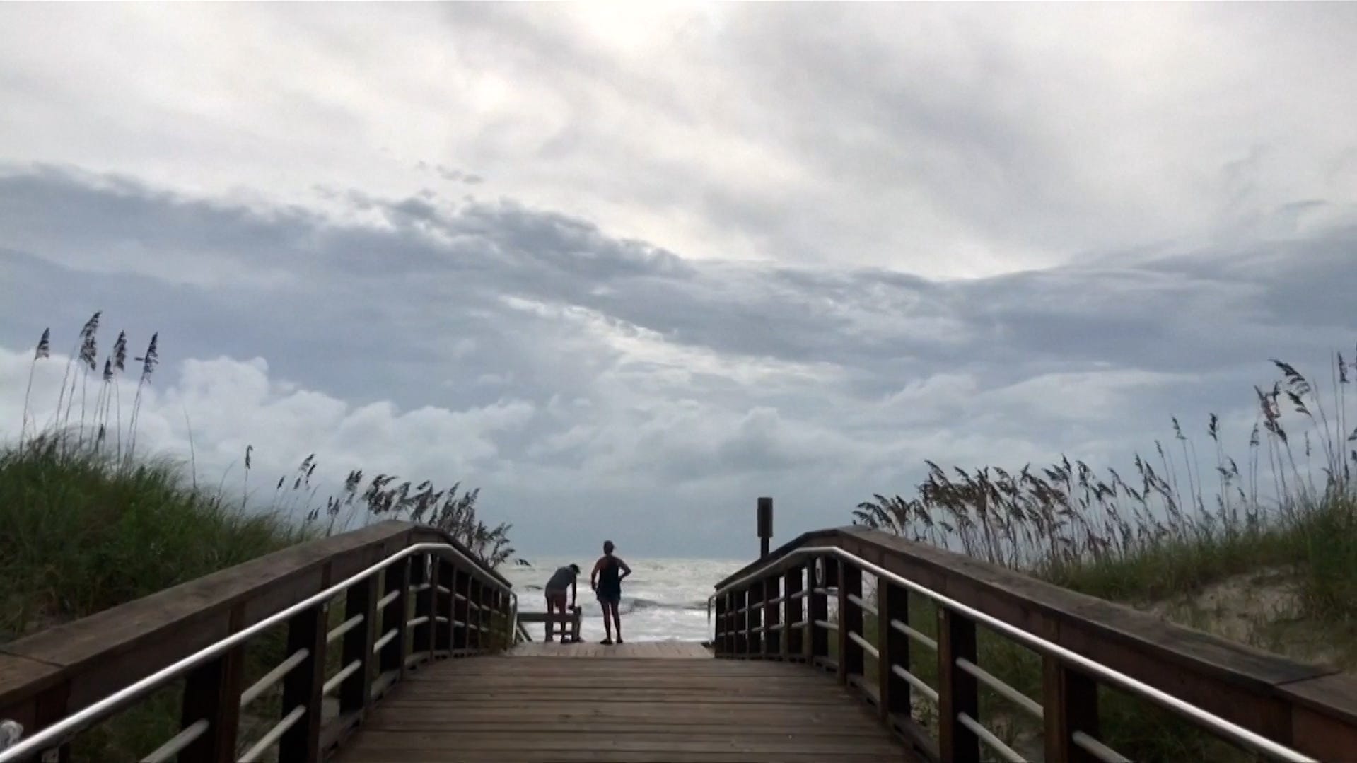
Tropical Storm Dexter formed on Sunday night, Aug. 3, becoming the fourth named storm of the 2025 Atlantic hurricane season.
The National Hurricane Center said in an advisory early Monday, Aug. 4, the storm was located about 255 miles northwest of Bermuda with maximum sustained winds near 45 mph with higher gusts.
Dexter formed off the coast of North Carolina, however the NHC says the storm is moving toward the east-northeast away from the East Coast and that movement is expected through early Tuesday, followed by a slower motion Tuesday and Wednesday.
The storm is forecast to move away from the U.S. coast and stay north of Bermuda. There are no coastal watches or warnings in effect and no hazards to land are expected.
"Some slight strengthening is forecast during the next couple of days," according to hurricane center forecasters, and Dexter is likely to become post-tropical by Wednesday.
NHC also monitoring 2 other systems
The hurricane center is also tracking two other systems in the Atlantic with low to medium chances of development. The first system is a tropical wave forecast to move off the west coast of Africa later Monday, with some gradual development possible.
A tropical depression could form late this week while it moves generally west-northwestward across the central tropical Atlantic, with NHC forecasters giving the system a 50% chance of formation through the next seven days.
Additionally, a broad area of low pressure is forecast to form in a couple of days a few hundred miles off the coast of the southeastern United States. While some gradual development of this system is possible during the middle or latter part of the week, forecasters give the system a 30% chance of formation through the next seven days.
Tropical Storm Dexter path tracker
This forecast track shows the most likely path of the center of the storm. It does not illustrate the full width of the storm or its impacts, and the center of the storm is likely to travel outside the cone up to 33% of the time.
Tropical Storm Dexter spaghetti models
This forecast track shows the most likely path of the center of the storm. It does not illustrate the full width of the storm or its impacts, and the center of the storm is likely to travel outside the cone up to 33% of the time.
NHC keeping tabs on tropical depression in the Pacific
Tropical Depression Eight-E has formed in the Pacific Ocean, well southwest of the southern tip of the Baja California peninsula.
In an advisory posted at 11 p.m. Hawaiian Standard Time on Aug. 3, the hurricane center said the storm was located about 835 miles southwest of the southern tip of Baja California with maximum sustained winds near 35 mph with higher gusts.
The NHC said some strengthening is expected during the next couple of days, and the depression is forecast to become a tropical storm on Monday as the storm moves toward the west-northwest, forecasters said.
Additionally, a trough of low pressure just offshore of the coast of Central America is currently producing disorganized showers and thunderstorms. Environmental conditions appear conducive for development, and a tropical depression could form later this week while the system moves west-northwestward.
The NHC gives this system a 60% chance of formation through the next seven days.
How do hurricanes form?
Hurricanes are born in the tropics, above warm water. Clusters of thunderstorms can develop over the ocean when water temperatures exceed 80 degrees Fahrenheit. If conditions are right, the clusters swirl into a storm known as a tropical wave or tropical depression.
A tropical depression becomes a named tropical storm once its sustained wind speeds reach 39 miles per hour. When its winds reach 74 mph, the storm officially becomes a hurricane.
Prepare now for hurricanes
Delaying potentially life-saving preparations could mean waiting until it’s too late. "Get your disaster supplies while the shelves are still stocked, and get that insurance checkup early, as flood insurance requires a 30-day waiting period," NOAA recommends.
- Develop an evacuation plan: If you are at risk from hurricanes, you need an evacuation plan. Now is the time to begin planning where you would go and how you would get there.
- Assemble disaster supplies: Whether you’re evacuating or sheltering-in-place, you’re going to need supplies not just to get through the storm but for the potentially lengthy aftermath, NOAA said.
- Get an insurance checkup and document your possessions: Contact your insurance company or agent now and ask for an insurance check-up to make sure you have enough insurance to repair or even replace your home and/or belongings. Remember, home and renters insurance doesn’t cover flooding, so you’ll need a separate policy for it. Flood insurance is available through your company, agent, or the National Flood Insurance Program. Act now, as flood insurance requires a 30-day waiting period.
- Create a family communication plan: NOAA said to take the time now to write down your hurricane plan, and share it with your family. Determine family meeting places, and make sure to include an out-of-town location in case of evacuation.
- Strengthen your home: Now is the time to improve your home’s ability to withstand hurricane impacts. Trim trees; install storm shutters, accordion shutters, and/or impact glass; seal outside wall openings.
Gabe Hauari is a national trending news reporter at Paste BN. You can follow him on X @GabeHauari or email him at Gdhauari@gannett.com.