Hurricane season hotspot spawns new threat for Carolinas
A touch of Shakespeare’s Macbeth is playing out in real time off the Southeast coast this summer as a persistent weather pattern brews “double, double, toil and (tropical) trouble.”
So far, the region has churned up two tropical storms, two potential tropical disturbances, and it's now being watched closely for the development of yet another system.
On Aug. 5, the National Hurricane Center put the chances of a fifth tropical disturbance emerging in the region at roughly 40% over the next seven days. It’s one of two potential systems the center is watching, in addition to Tropical Storm Dexter, which spun up off a frontal boundary off the Southeast coast on Aug. 3.
This hurricane season isn’t the first time the region has merited close attention from the National Hurricane Center, said Dan Brown, branch chief of the center's hurricane specialists. "It’s an area that we watch for development, especially during the early part of hurricane season, in late May, June and July.”
“We often get frontal boundaries that move off the coast there and then kind of stall there,” Brown told Paste BN. In 2023, Ophelia formed in the region in September, and in 2022, Colin formed just off the coast of South Carolina, he said. “It’s been a while since we’ve seen multiple systems form there.”
What’s the potential for a tropical storm off the Southeast Coast?
“It’s too early to know” if the potential disturbance will have any impacts, Brown said. “None of the guidance suggests it would get very strong, but it’s certainly something folks should be paying attention to as we approach the peak of the season.”
“It could bring locally heavy rainfall,” he said. “Oftentimes, it doesn’t take a full-fledged tropical storm or system to bring heavy rain.”
For folks who haven’t yet stocked up on their hurricane supplies, “Now’s a good time,” Brown said. “It looks like things could be more active as we head toward the middle of August.”
Weather service offices in the region are also advising residents to monitor forecasts closely.
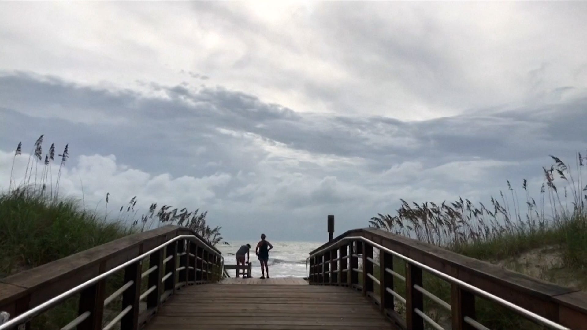
The main local impacts from the system in northern Florida and southern Georgia are expected to be a “continued heavy rainfall/flood threat and elevated rip current risk at local beaches,” Angie Enyedi, a meteorologist in the Jacksonville weather service office, said on Aug 5. The risk of flooding rainfall increases by the weekend as the system approaches the coast.
Enyedi also advised residents to watch the forecasts. “We want to continue to steer folks toward credible forecasts from the National Hurricane Center & local NWS offices, as well as trusted media outlets... not social-media-ologists,” she wrote.
Why are storms developing off the Southeast coast?
In the winter, cold fronts are stronger and deeper in the mid latitudes across the globe, Brown said.
But in the summer, cold fronts that cross through the Central and Eastern U.S. become weaker when they arrive at lower latitudes, said Zach Taylor, a meteorologist at the National Weather Service Weather Prediction Center.
At the moment, one of those stalled frontal boundaries is draped across the Southeast from the Gulf Coast toward the coastal Carolinas, and it’s leading to pretty widespread showers and thunderstorms, Taylor said. That's the area the hurricane center is watching for further development.
The fronts stall in the summer in part because the jet streams that zip around the globe, helping to steer weather systems, are much further toward the poles, Taylor said. “The fronts make it to the Southeast and kind of lose their momentum and are just not able to advance any further.”
Once stalled, they tend to become a focus point for moisture and other factors that concentrate additional showers and thunderstorms.
One storm appeared off a frontal boundary on July 5 and became Chantal, which moved over the coast and caused deadly flooding in North Carolina.
The two disturbances that never fully materialized appeared between July 12 and July 23 and drifted off to the west, causing rain across North Florida and along the Gulf Coast into Louisiana.
Dexter moved off to the east and northeast after forming off one of the stalled boundaries. On Aug. 5, it lost a little steam, but forecasters at the hurricane center expected it to strengthen again as a post-tropical storm as it moves off into the North Atlantic.
Dinah Voyles Pulver covers climate change and the environment for Paste BN. She's written about hurricanes, tornadoes and violent weather for more than 30 years. Reach her at dpulver@usatoday.com or @dinahvp on Bluesky or X or dinahvp.77 on Signal.